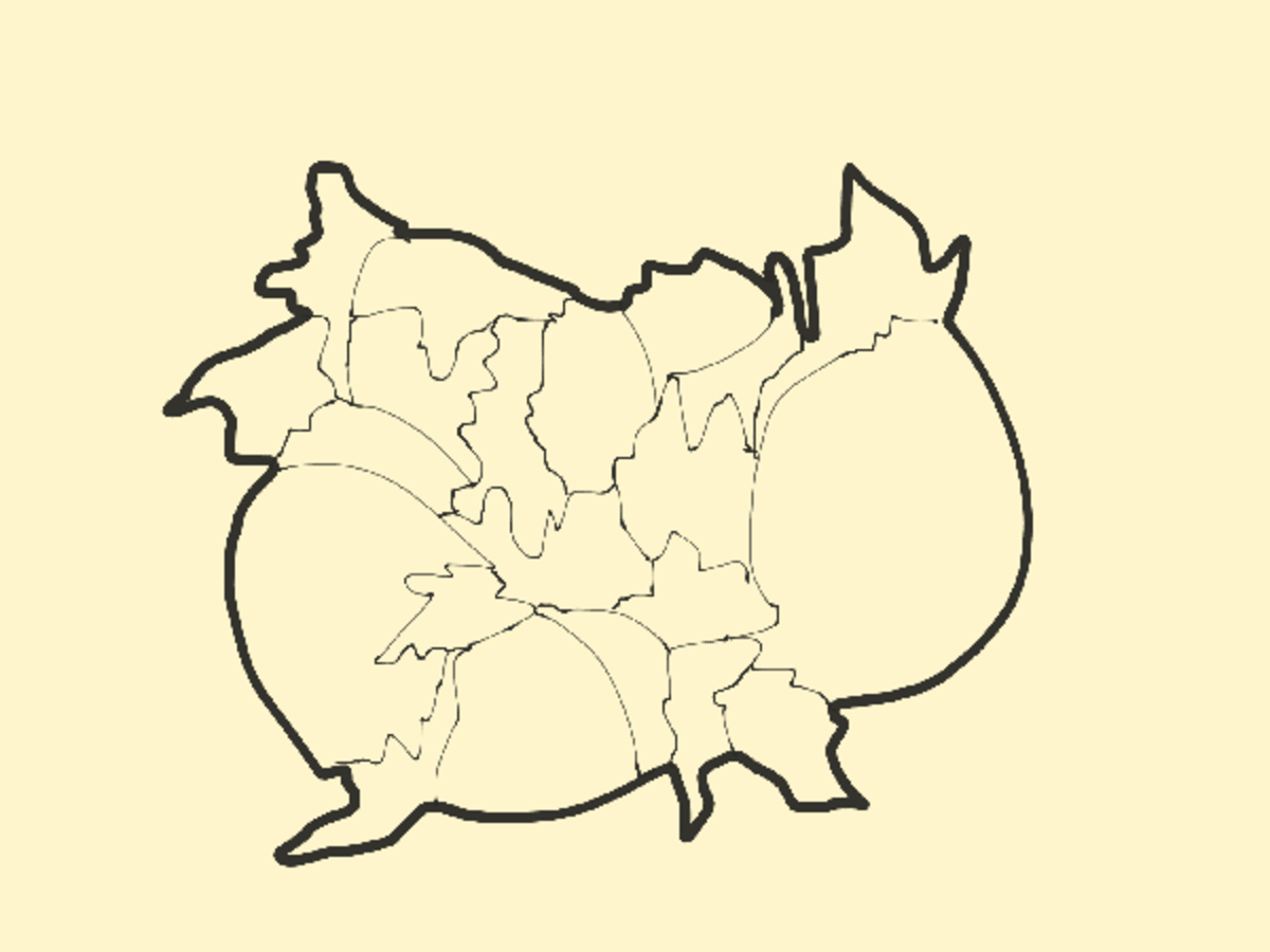
Cartogram
It is a map whose geographical divisions have different sizes, which are proportional to the values of a quantitative variable.
It is a map whose geographical divisions have different sizes proportional to the values of a quantitative variable. It is used to compare geographic divisions, and the location and shape of these divisions facilitate their identification.